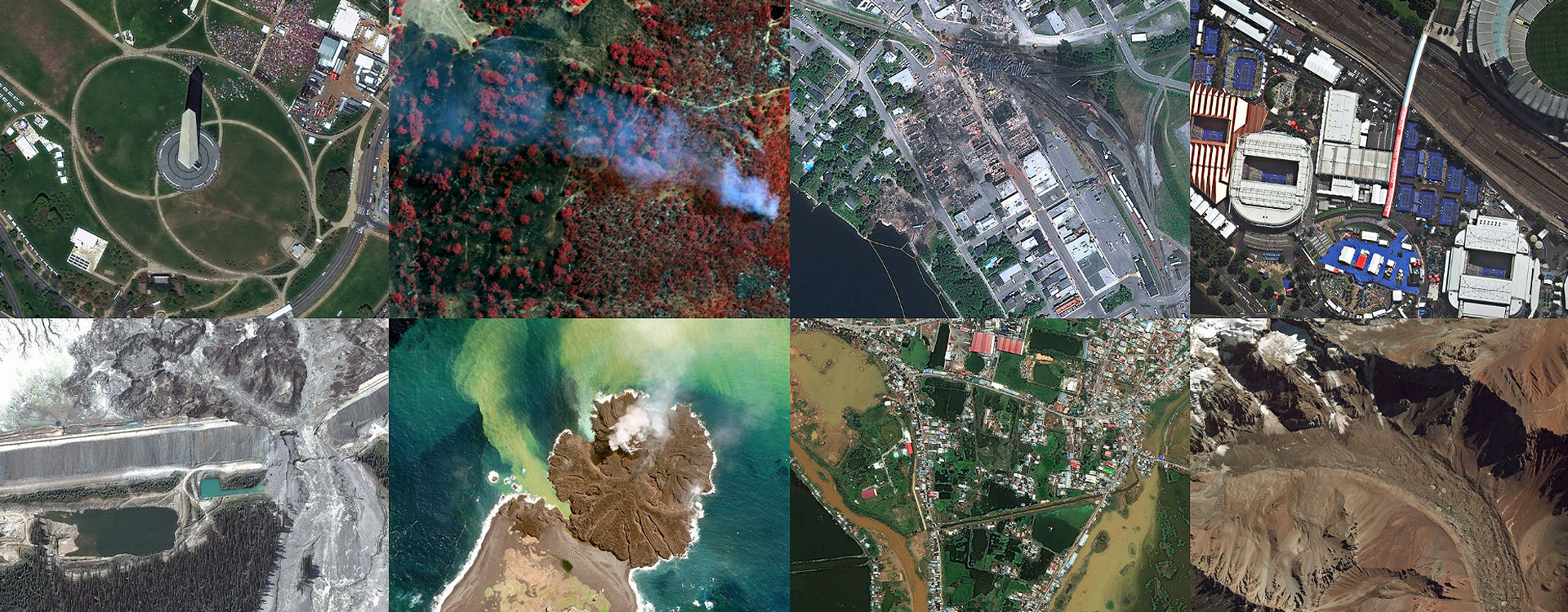
Monitoring and Cadastral Mapping. Public Services
Monitoring of changes in all Latin America. Surface detection, height and digitalization of changes in constructions.
Agriculture, Environmental and Forest Monitoring
Monitoring oriented to Precision Agriculture.
Emergency and Environmental Control.
Energy Sector: Mining, Oil & Gas
Geological satellite exploration, mining-oriented.
Precision and environmental care.
Infrastructure, Engineering and Government
Infrastructure Monitoring of civil and governmental agencies.
Aerospace services and telecommunications.