
We convert satellite imagery into accurate, customized information adding value to your business.
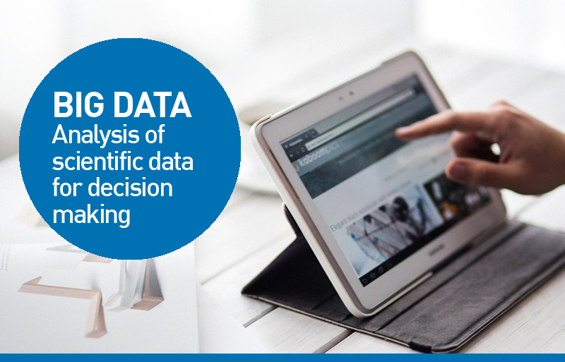
We count on Intelligent Data Analysis technology in Big Data and Data Mining, through the processing of information from satellite imagery.
Intelligent information of great impact on decision-making, at the service of: Civil Agencies, Monitoring and Cadastral Mapping, Environmental Monitoring, Emergency Control, Telecommunications, Public Services, Oil & Gas, Exploration, Mining, Agriculture, Infrastructure, Engineering and Government.