
How to know whether your crops are at risk?
How to access accurate information instantly to evaluate soil conditions, crops, and plan your sowing season?
InfoSat responds to this challenge with quality imagery and information for decision-making.
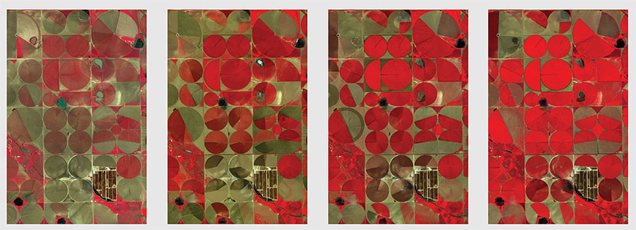
Proper crop management requires accurate, timely site data, as close to real time as possible. This is especially true during the growing season, when it is necessary to detect and diagnose problems with the crop before they have major impact on yields.
However, it is difficult to identify these problems on time. This may be partly attributed to the fact that it is difficult to have a constant, reliable, accessible and high quality imagery supply whenever needed. Aerial photographs are usually expensive and not sufficient to cover large extensions, while most of the satellites do not provide the sufficient shot frequency and spatial resolution for an effective crop management.
Our Solution
The Agricultural Monitoring Program represents a highly profitable alternative to supply satellite imagery to cover large agricultural extensions in a frequent and regular manner.
The images will be available on your platform immediately after being taken, “in real time”, so you will spend less time waiting for the data and more time taking action.
Through this program you will get:
- RapidEye imagery.
- Landsat 8 imagery.
- PlanetScope imagery.
- Access to file imagery since 2009, to analyze and predict trends (optional).
- Fast delivery and easy access.
- Flexible tools, easy to integrate into your workflow.
- Development of your own applications on our platform.
- Customizable program.
The AGRICULTURAL MONITORING PROGRAM is customizable and highly profitable.
The experts will obtain the necessary information in due time, for more intelligent decision-making.
The PMA guarantees the customer not only an important number of images, but also easy, immediate access to them.
On its web application, the customer will have absolutely all the imagery of the relevant area, obtained by the satellites over the duration of the Program.
The customer may generate and distribute an unlimited number of value added products.
The Program begins with the 5 satellites of the already known RapidEye constellation; in the course of the Program, the satellites of the PlanetScope constellation will be added, which will reach 150 satellites in early 2017. Thus enabling a revisit every 8.5 days in the third quarter of 2016. Every 2.1 days in the fourth quarter of 2016, and daily in the first quarter of 2017.
You are welcome to ask us about how to implement this service in your organization.